KURRIMINE AND COWLEY BEACHES FORESHORE MANAGEMENT PLAN
Cassowary Coast Regional Council (CCRC) has developed a Foreshore Management Plan (FMP) for Kurrimine and Cowley Beaches, bringing together key strategic directions from documents such as the Cassowary Coast Regional Council 2023 Advocacy Plan and the Cassowary Coast Coastal Hazard Adaptation Strategy.
The Plan provides a coordinated, long-term framework to guide the management of the foreshore. It identifies future land-based activities, supports improved coastal resilience, and balances community use with environmental outcomes.
Delivering the Plan
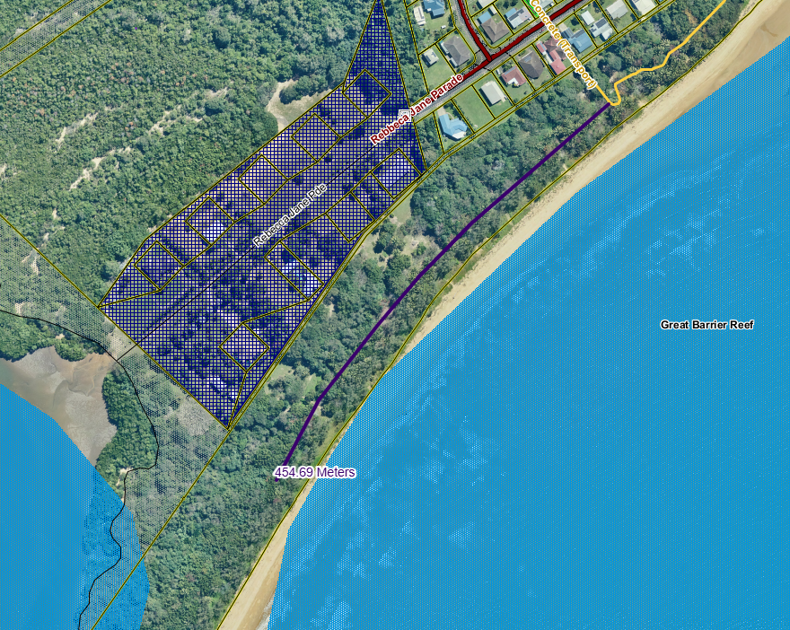
In 2017, Stage 1 of the Kurrimine foreshore walking track was completed, improving access along the foreshore. Building on this, the adopted Foreshore Management Plan now guides the next stages of work and future investment in the area.
Council is progressing implementation of the Plan, with Stage 2 underway and a contractor engaged to deliver the next section of the walking track. This stage will extend the existing pathway to improve connectivity, accessibility and overall use of the foreshore, while responding to environmental and coastal hazard considerations.
As part of these works, and in response to clear community feedback on dog management in the beach area, Council will also install updated signage, including designated ‘no dogs’ and ‘dogs on leash’ areas, in line with the Foreshore Management Plan.
Construction is scheduled to commence in May, with completion expected by 30 June 2026, weather permitting.
Contact Us
Have questions or want to learn more about a project, contact us below:
| Name | YOUR SAY |
|---|---|
| Phone | 1300763903 |
| yoursay@ccrc.qld.gov.au |


